Description
In the south of Luxembourg lies the Minett region, the land of the red soil (Terre rouge), named after the ore-bearing rock in the soil, which also colors it red. In the future, a coherent, fully signposted bicycle tour will lead through the entire region: the "Minett Cycle". After 2023, a total of 150 kilometers (divided into three loops) of bicycle infrastructure should invite you to discover them.
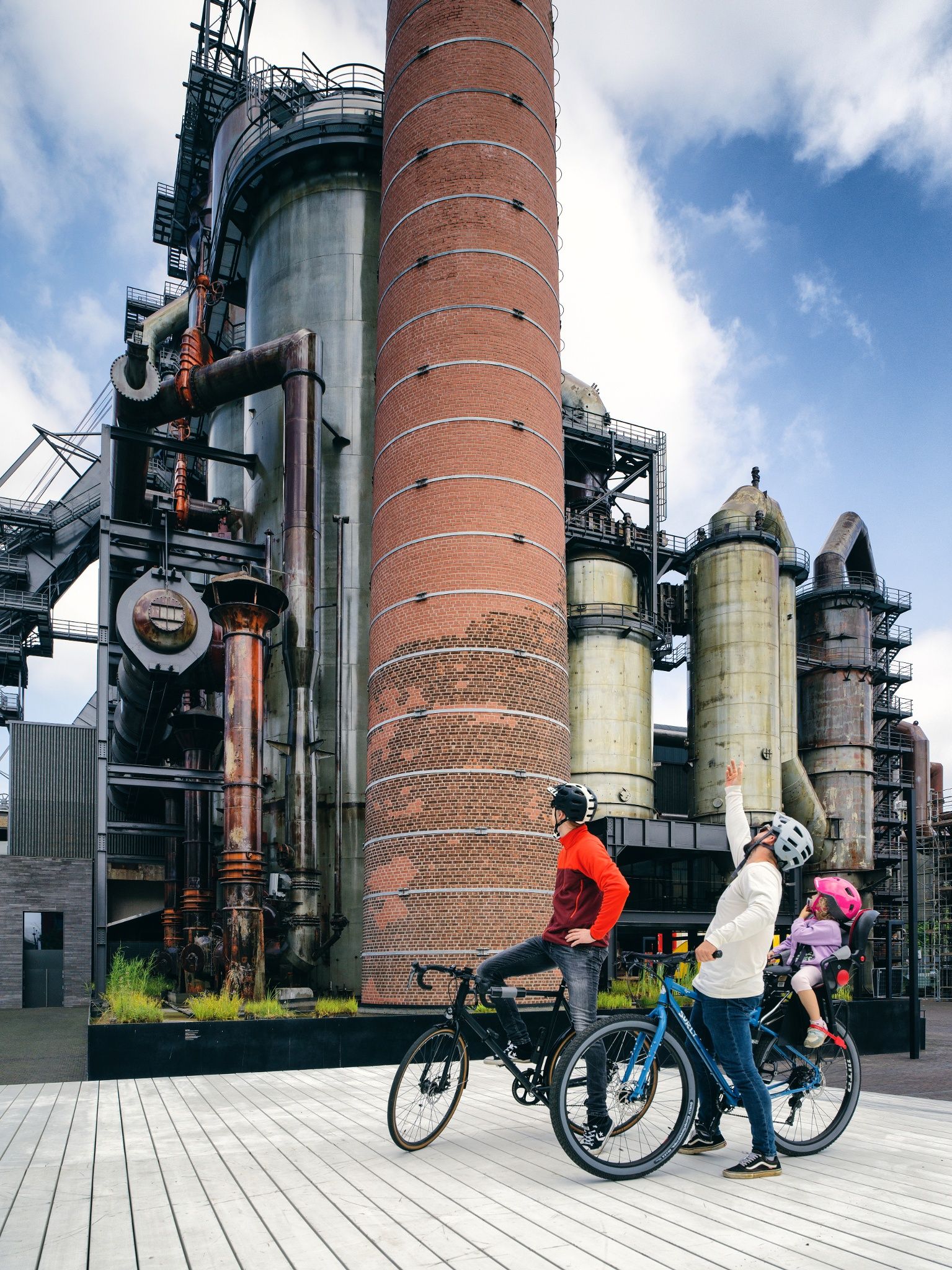
Until then, you can already ride sections of the future "Minett Cycle" and discover sections of the unique Minett region. On this section, the path between Belvaux and Tétange leads over "Piste Cyclable" number 8 and thus also along the border with France (and even through French territory for a few meters). Past the new district of Esch-Belval, through Esch-sur-Alzette and the Ellergronn nature reserve, past the "Leiffrächen" and the national miners' monument to the border in Rumelange. The route then leads to the "Schungfabrik" and the "Musée vun der Aarbecht" (MUAR) in Kayl.
Signposting

Directions
The path can be traveled in both directions and is signposted in both directions.
For your safety
Nevertheless, please observe the rules of the road traffic regulations where your path crosses the road.
Equipment
Journey
Parking: Parking spaces are available at both start and end points.

 This website uses technology and content from the Outdooractive Platform.